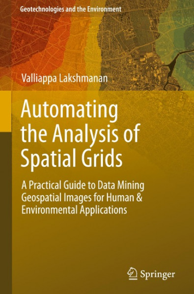
Automating the Analysis of Spatial Grids
Kurzinformation
inkl. MwSt. Versandinformationen
Artikel zZt. nicht lieferbar
Artikel zZt. nicht lieferbar

Beschreibung
The ability to create automated algorithms to process gridded spatial data is increasingly important as remotely sensed datasets increase in volume and frequency. Whether in business, social science, ecology, meteorology or urban planning, the ability to create automated applications to analyze and detect patterns in geospatial data is increasingly important. This book provides students with a foundation in topics of digital image processing and data mining as applied to geospatial datasets. The aim is for readers to be able to devise and implement automated techniques to extract information from spatial grids such as radar, satellite or high-resolution survey imagery. von Lakshmanan, Valliappa
Produktdetails

So garantieren wir Dir zu jeder Zeit Premiumqualität.
Über den Autor
Dr. Valliappa Lakshmanan is an expert in machine intelligence R&D for meteorological applications, and in designing and developing large-scale software systems. He is skilled in communicating technical and non-technical material to diverse audiences. He has studied at the Indian Institute of Technology in Madras, the Ohio State University in Columbus and the University of Oklahoma. Dr. Lakshmanan is currently employed as a Research Scientist at CIMMS, being the technical lead on several software projects and research groups. He also develops automated real-time pattern recognition algorithms and visualization techniques for weather phenomena. He has (co-)written many journal articles.

- Hardcover
- 405 Seiten
- Erschienen 2010
- John Wiley & Sons Inc

- Taschenbuch
- 288 Seiten
- Erschienen 2002
- Crc

- hardcover
- 90 Seiten
- Erschienen 1976
- John Wiley & Sons Inc

- paperback
- 593 Seiten
- Erschienen 2020
- Routledge

- hardcover
- 417 Seiten
- Erschienen 1993
- Pearson

- hardcover
- 192 Seiten
- Erschienen 2023
- Wiley

- Kartoniert
- 120 Seiten
- Erschienen 2020
- Brill | V&R

- Kartoniert
- 170 Seiten
- Erschienen 2017
- Apress

- Kartoniert
- 281 Seiten
- Erschienen 2019
- De Gruyter Oldenbourg

- Kartoniert
- 484 Seiten
- Erschienen 2021
- transcript Verlag

- paperback
- 148 Seiten
- Erschienen 1974
- Springer Berlin Heidelberg









![Mata Matrix Programming [M-4] - [M-6] Mata Matrix Programming [M-4] - [M-6]](https://d3k2uuz9r025mk.cloudfront.net/media/image/ab/5f/b9/1731769290_800309330425.jpg)
