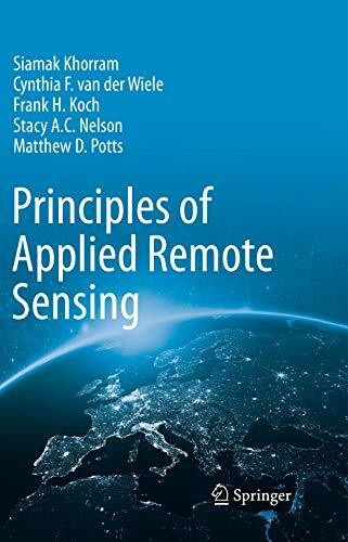
Principles of Applied Remote Sensing
Kurzinformation
inkl. MwSt. Versandinformationen
Artikel zZt. nicht lieferbar
Artikel zZt. nicht lieferbar

Beschreibung
"Principles of Applied Remote Sensing" von Matthew D. Potts bietet eine umfassende Einführung in die Grundlagen und Anwendungen der Fernerkundung. Das Buch behandelt die physikalischen Prinzipien, die den Fernerkundungstechnologien zugrunde liegen, sowie die verschiedenen Sensoren und Plattformen, die zur Datenerfassung verwendet werden. Potts legt besonderen Wert auf praktische Anwendungen in Bereichen wie Umweltüberwachung, Landnutzungsplanung und Ressourcenmanagement. Durch zahlreiche Fallstudien und Beispiele wird gezeigt, wie Fernerkundungsdaten analysiert und interpretiert werden können, um fundierte Entscheidungen zu treffen. Das Buch richtet sich sowohl an Studierende als auch an Fachleute, die ein tieferes Verständnis der Möglichkeiten und Herausforderungen der Fernerkundung erlangen möchten.
Produktdetails

So garantieren wir Dir zu jeder Zeit Premiumqualität.
Über den Autor
Professor Siamak Khorram is a Professor of Remote Sensing and Imaging Processing and has joint faculty appointments at both the University of California at Berkeley and at North Carolina State University. He is the Professor and Founder of the Center for Earth Observation at North Carolina State University. He is a former Vice President for Academic Programs and Dean of the International Space University (ISU) as well as the former Chair of the ISU's Academic Council and Affiliated Campuses Network. He is a member of the Board of Trustees of ISU. Dr. Khorram is the author of over 200 publications in peer-reviewed journals, conference proceedings, and major technical reports. He is a member of several professional and scientific societies, and has served as major/guiding professor for over 30 Ph.D. and Masters in remote sensing and image processing. His Ph.D. is awarded jointly by the University of California campuses at Berkeley and Davis.Dr. Frank H. Koch is a Research Ecologist with the USDA Forest Service. Previously, he was a Research Assistant Professor at North Carolina State University. His primary area of research is alien forest pest invasions. Specifically, he is interested in the spatio-temporal dynamics of invasions at national and continental scales. This multidisciplinary work involves GIS, remote sensing, statisitics, and spatial simulation modeling. Dr. Koch regularly collaborates with other USDA Forest Service scientists as well as researchers from the Canadian Forest Service, the USDA Animal and Plant Health Inspection Service, and several universities. He has authored numerous journal articles and other publications. Dr. Koch received his B.A. from Duke University and his M.S. and Ph.D. from North Carolina State University.Dr. Cynthia Van Der Wiele is an independent researcher and consultant, frequently collaborating with the Center for Earth Observation at North Carolina State University. Dr. Van Der Wiele received a B.S. and M.L.A. from North Carolina State University, an M.E.M. and M.F. from Duke University, and a Ph.D. from North Carolina State University. Her work uses GIS and remote sensing techniques for applied research about sustainable rural development, conservation planning, and water quality. She has worked with several state and local government agencies including; the NC Division of Water Quality Wetlands Unit, the St. Johns River Water Management. And the NC Center for Geographic Information and Analysis. She is active in several professional societies.Dr. Stacy A. C. Nelson is an Associate Professor with the Center for Earth Observation at North Carolina State University. Dr. Nelson received a B.S. from Jackson State University, an M.A. from the College of William, and a Ph.D. from Michigan State University. His research centers on GIS technologies to address questions of land use and aquatic systems. He has worked with several federal and state agencies including; the Stennis Space Center in Mississippi, the NASA-Regional Earth Science Applications Center (RESAC), the USDA Forest Service, and two Departments of Environmental Quality at the state level. He is active in several professional societies.
- hardcover
- 556 Seiten
- Erschienen 1997
- CRC Press
- Taschenbuch
- 288 Seiten
- Erschienen 2002
- Crc
- Hardcover
- 405 Seiten
- Erschienen 2010
- John Wiley & Sons Inc
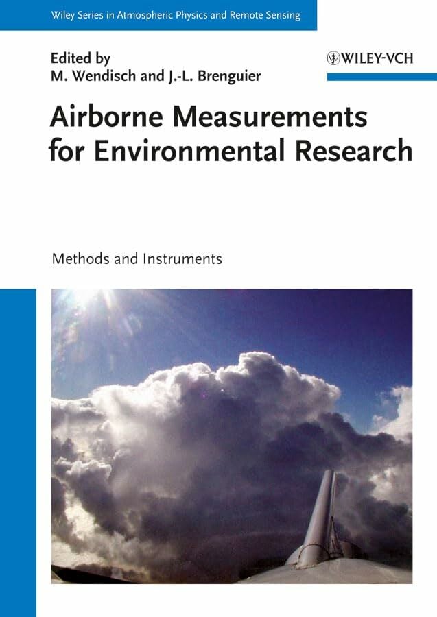
- Gebunden
- 655 Seiten
- Erschienen 2013
- Wiley-VCH

- paperback
- 593 Seiten
- Erschienen 2020
- Routledge

- hardcover -
- Erschienen 2000
- -

- Hardcover
- 272 Seiten
- Erschienen 1996
- Wiley-Interscience

- hardcover
- 574 Seiten
- Erschienen 2025
- Salem Press Inc

- Gebunden
- 191 Seiten
- Erschienen 2013
- Springer

- Kartoniert
- 380 Seiten
- Erschienen 2018
- Wichmann Verlag

- hardcover
- 320 Seiten
- Erschienen 2014
- Wiley


