


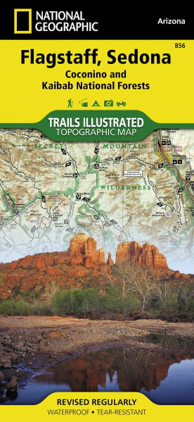
Flagstaff / Sedona - Coconino National Forest: NATIONAL GEOGRAPHIC Trails Illustrated National Parks: Trails Illustrated Maps (National Geographic Trails Illustrated Map, Band 856)
Kurzinformation
 Handgeprüfte Gebrauchtware
 Schnelle Lieferung
 Faire Preise
inkl. MwSt. Versandinformationen
Lieferzeit 1-3 Werktage
Lieferzeit 1-3 Werktage

Beschreibung
&; Waterproof &; Tear-Resistant &; Topographic Map Explore Northern Arizona's pine forests, picturesque mountains, steep canyons, and red-rock buttes with National Geographic's Trails Illustrated map of Flagstaff & Sedona. Created in partnership with local land management agencies, this expertly researched map delivers unmatched detail and helpful information for experienced outdoor enthusiasts and casual visitors alike. Key areas of interest featured on this map include Kachina Peaks, Strawberry Crater, and Kendrick Mountain wilderness areas; Humphreys Peak; Mormon Lake; Wupatki, Walnut Canyon, and Sunset Crater Volcano national monuments; and Upper Lake Mary. With miles of mapped trails including the Arizona and Kachina trails, this map can guide you off the beaten path and back again in some of the most breathtaking scenery in the region. In addition to detailed and easy-to-read trails, this map includes an accurate road network, campgrounds, points of interests, visitor centers and facilities, plus interpretive trails, swimming areas, boat launch sites, ski areas, and sno-parks. Road types are differentiated, so you'll know if the route you choose is a paved, OHV, or high- clearance road. A portion of Historic Route 66 and other scenic byways are noted for those wishing to take in the scenery by car. The map base includes contour lines and elevations for summits, passes and many lakes. An informative summary of each wilderness area, the Cinder Hills OHV Area, and Coconino National Forest is included as well. Every Trails Illustrated map is printed on "Backcountry Tough" waterproof, tear-resistant paper. A full UTM grid is printed on the map to aid with GPS navigation. Other features found on this map include: Coconino National Forest, Elden Mountain, Flagstaff, Humphreys Peak, Kachina Peaks Wilderness, Kaibab National Forest, Kendrick Mountain Wilderness, Kendrick Peak, Mormon Lake, Munds Mountain Wilderness, Red Rock-Secret Mountain Wilderness, Rogers Lake, San Francisco Mountain, Sedona, Strawberry Crater Wilderness, Wupatki National Monument. Map Scale = 1:70,000 Sheet Size = 37.75" x 25.5" Folded Size = 4.25" x 9.25"
Produktdetails

So garantieren wir Dir zu jeder Zeit Premiumqualität.


