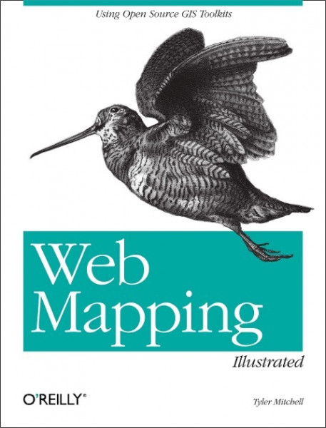
Web Mapping Illustrated
Kurzinformation
inkl. MwSt. Versandinformationen
Lieferzeit 1-3 Werktage
Lieferzeit 1-3 Werktage

Beschreibung
With the help of the Internet and accompanying tools, creating and publishing online maps has become easier and rich with options. A city guide web site can use maps to show the location of restaurants, museums, and art venues. A business can post a map for reaching its offices. The state government can present a map showing average income by area. Developers who want to publish maps on the web often discover that commercial tools cost too much and hunting down the free tools scattered across Internet can use up too much of your time and resources. Web Mapping Illustrated shows you how to create maps, even interactive maps, with free tools, including MapServer, OpenEV, GDAL/OGR, and PostGIS. It also explains how to find, collect, understand, use, and share mapping data, both over the traditional Web and using OGC-standard services like WFS and WMS. Mapping is a growing field that goes beyond collecting and analyzing GIS data. Web Mapping Illustrated shows how to combine free geographic data, GPS, and data management tools into one resource for your mapping information needs so you don't have to lose your way while searching for it. Remember the fun you had exploring the world with maps? Experience the fun again with Web Mapping Illustrated. This book will take you on a direct route to creating valuable maps. von Mitchell, Tyler
Produktdetails

So garantieren wir Dir zu jeder Zeit Premiumqualität.
Über den Autor

- Taschenbuch
- 288 Seiten
- Erschienen 2002
- Crc

- paperback
- 328 Seiten
- Erschienen 2010
- Springer

- Broschiert
- 369 Seiten
- Erschienen 2020
- Lehmanns Media

- Hardcover
- 405 Seiten
- Erschienen 2010
- John Wiley & Sons Inc

- paperback
- 252 Seiten
- Erschienen 2010
- Packt Pub Ltd

- Hardcover
- 352 Seiten
- Erschienen 2016
- Pelagic Publishing

- hardcover
- 324 Seiten
- Erschienen 2012
- Springer

- map
- 1 Seiten
- Erschienen 2006
- Kümmerly+Frey

- Gebunden
- 290 Seiten
- Erschienen 2007
- Springer

- paperback
- 348 Seiten
- Erschienen 1995
- CRC Press


 bestellen


