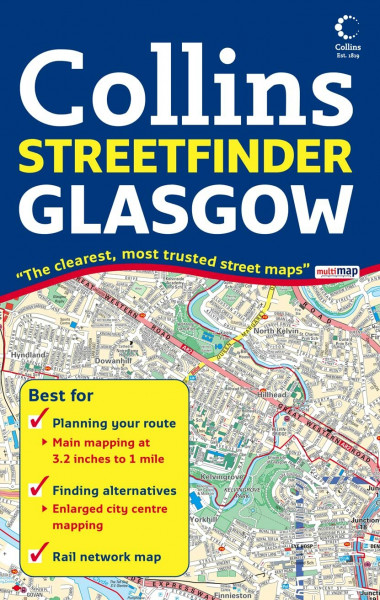
Glasgow Streetfinder Colour Map
Kurzinformation

 Handgeprüfte Gebrauchtware
 Schnelle Lieferung
 Faire Preise
inkl. MwSt. Versandinformationen
Lieferzeit 1-3 Werktage
Lieferzeit 1-3 Werktage

Beschreibung
Scale: 1:20,000 (3.2 inches to 1 mile). Full colour street level mapping with index to street names. Includes rail and subway network map. MAIN FEATURES • Clear colourful mapping. • Large scale central area. • Rail and subway network map of Glasgow. INCLUDES • Full colour map detail with Key to Symbols in English, French and German. • Large scale 6 inches to 1 mile central area. • Shows one way streets, pedestrian areas, car parks, station etc. • All important buildings and places of interest. AREA OF COVERAGE From Renfrew in the west to Uddingston and Easterhouse in the east and from Bearsden in the north to Castlemilk in the south. WHO THE PRODUCT IS OF INTEREST TO All visitors, tourists, business people and residents who travel around the city.
Produktdetails

So garantieren wir Dir zu jeder Zeit Premiumqualität.